



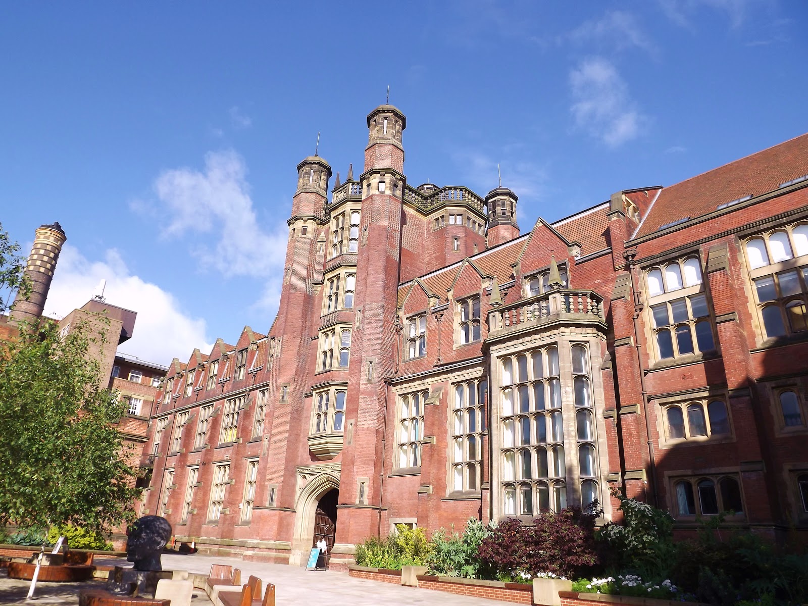

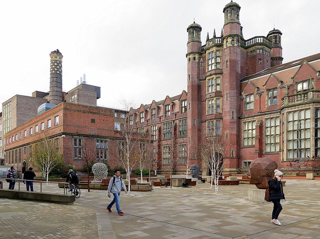
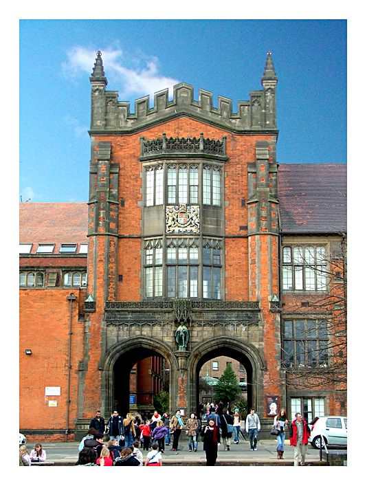
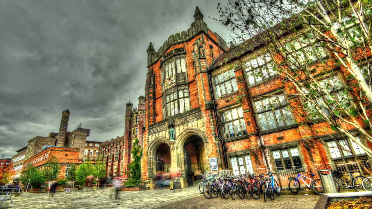
Newcastle upon Tyne, United Kingdom
The Geomatics programme from Newcastle University enjoys an international reputation for using the latest science to solve problems of global importance. Our research has significant relevance in non-academic settings and we regularly apply it through consultancy to industry, from the global offshore industry to local authorities and survey and engineering companies. We are a key part of the TSB Satellite Applications Catapult North East Centre of Excellence.;For geomatics we have MPhil and PhD supervision in the following areas:;Satellite geodesy;GPS and geophysical modelling;GPS/GNSS geodesy;precise orbit determination of altimetric and geodetic satellites;sea level;ice sheet mass balance;satellite altimetry;static and temporal gravity field and reference frame analyses from dedicated satellite missions;SAR interferometry;geophysical and industrial deformation monitoring;geodynamics and geohazards;integration of GPS and INS;engineering geodesy;Examples of key staff in this area include:;Professor Peter Clarke, Professor of Geophysical Geodesy;Dr Stuart Edwards, Senior Lecturer in Geomatics;Professor Matt King, Visiting Professor in Geodesy;Professor Philip Moore, Professor of Space Geodesy;Dr Nigel Penna, Senior Lecturer in Geomatics;Geospatial Engineering;geoinformatics and advanced GIS;geospatial algorithm development;spatial modelling including network modelling, cellular automata and agent based approaches to spatial complexity;multimedia cartography and information delivery;temporal GIS;geospatial data management;airborne and satellite remote sensing applied to environmental impact assessment;land use, vegetation and pollution monitoring;Earth observation of urban systems;photogrammetry;laser scanning;precise non-contact dimensional control;Examples of key staff in this area include:;Dr Stuart Barr, Senior Lecturer in Geographic Information Science;Dr David Fairbairn, Senior Lecturer in Geomatics;Dr Rachel Gaulton, Lecturer in Remote Sensing;Mr Philip James, Senior Lecturer in GIS;Professor Jon Mills, Professor of Geomatic Engineering and Head of School;View all of our research activities, academic staff and student research projects in the School.;Delivery;We offer the MPhil and PhD on a full time or part time basis. You will work with research-active academics who will provide advice and support throughout your research project. You will receive formal training in research skills and methods and discipline-specific training is provided where appropriate.;The first three months of study involve intensive theoretical and practical tuition to ensure that you have the study skills to plan your project and can use the equipment and software related to your research. You are encouraged to attend our weekly research seminar series and to present your work at our annual postgraduate research conference, group seminars and relevant international conferences.;I want to find another Master Course;Get more details;Visit official programme website
Don’t just apply; apply where you belong. Use GradRight’s AI platform to compare programs with other top-tier options based on real student outcomes, costs, and your unique profile.
Compare ProgramsAccess India’s first loan bidding marketplace to get competitive, low-interest education loan offers from 15+ top lenders, tailored to your aspirations.
Compare Loan OffersNavigate international health insurance requirements with ease. Get comprehensive, uni-compliant coverage that protects your health and your budget.
Check Insurance Plans
Don’t just apply; apply where you belong. Use GradRight’s AI platform to compare programs with other top-tier options based on real student outcomes, costs, and your unique profile.
Compare Programs
Access India’s first loan bidding marketplace to get competitive, low-interest education loan offers from 15+ top lenders, tailored to your aspirations.
Compare Loan Offers
Navigate international health insurance requirements with ease. Get comprehensive, uni-compliant coverage that protects your health and your budget.
Check Insurance PlansBased on current data, Geomatics at Newcastle University has a total cost of ₹62,16,000 and an estimated ROI (including loan interest) of 60% over a 12-months program. Newcastle University's median graduate package is ₹41,00,000.
Newcastle University requires a minimum TOEFL iBT score of 90 or an IELTS score of 6.5, along with a GPA of 2.60. GRE is not required and GMAT is not required for this program.
Trusted by 2,60,000+ students for their education abroad
 Australia +61
 Canada +1
 France +33
 Germany +49
 India +91
 Ireland +353
 UAE +971
 United Kingdom +44
 United States +1
By signing up, you agree to the Terms of Service and Data Processing Agreement
Enter the security code we sent to
By signing up, you agree to the Terms of Service and Data Processing Agreement